 Old Cumbria Gazetteer
 |
 |
|
| Kirkbymoor Turnpike, Brampton | ||
| gone | ||
| Kirkbymoor Turnpike | ||
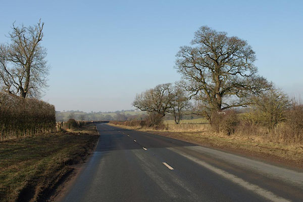
| site name:- | road, Brampton to Longtown | |
| locality:- | Kirkby Moor (near) | |
| civil parish:- | Brampton (formerly Cumberland) | |
| county:- | Cumbria | |
| locality type:- | toll gate (site) | |
| coordinates:- | NY52016212 | |
| 1Km square:- | NY5262 | |
| 10Km square:- | NY56 | |
| references:- | OS County Series |
|
|
|
||
 BSE14.jpg (taken 19.2.2010) |
||
|
|
||
| evidence:- | old map:- OS County Series (Cmd 17 4) |
|
| source data:- | Maps, County Series maps of Great Britain, scales 6 and 25
inches to 1 mile, published by the Ordnance Survey, Southampton,
Hampshire, from about 1863 to 1948. "Kirkbymoor T.P" gate across road and a building |
|
|
|
||
 Lakes Guides menu.