 Old Cumbria Gazetteer
 |
 |
|
| Knott End hill, Dunnerdale-with-Seathwaite | ||
| Knott End | ||
| site name:- | Knott, The | |
| locality:- | Furness Fells | |
| civil parish:- | Dunnerdale-with-Seathwaite (formerly Lancashire) | |
| county:- | Cumbria | |
| locality type:- | hill | |
| coordinates:- | SD224916 | |
| 1Km square:- | SD2291 | |
| 10Km square:- | SD29 | |
|
|
||
| evidence:- | old map:- Garnett 1850s-60s H placename:- Knot End |
|
| source data:- | Map of the English Lakes, in Cumberland, Westmorland and
Lancashire, scale about 3.5 miles to 1 inch, published by John
Garnett, Windermere, Westmorland, 1850s-60s.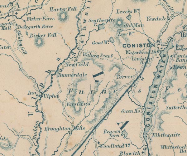 GAR2SD29.jpg "Knot End" hill hachuring item:- JandMN : 82.1 Image © see bottom of page |
|
|
|
||
 Lakes Guides menu.