 Old Cumbria Gazetteer
 |
 |
|
| included in:- |
 limekilns, Coniston Limestone Series limekilns, Coniston Limestone Series |
|
| Limestone Hill, Hawkshead | ||
| Limestone Hill | ||
| civil parish:- | Hawkshead (formerly Lancashire) | |
| county:- | Cumbria | |
| locality type:- | hill | |
| locality type:- | Coniston limestone series | |
| locality type:- | geological site | |
| coordinates:- | NY34050046 (etc) | |
| 1Km square:- | NY3400 | |
| 10Km square:- | NY30 | |
| stratigraphy:- | Coniston Limestone Series | |
|
|
||
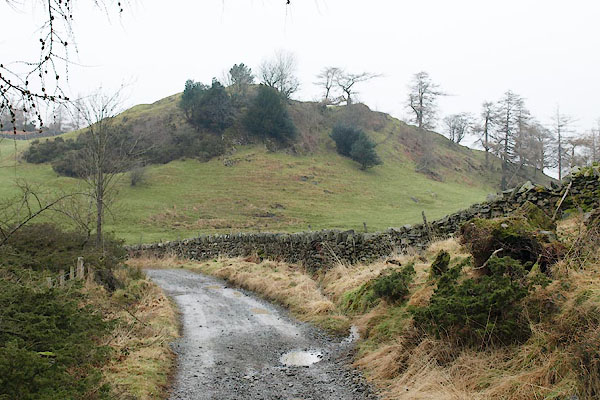 BSD54.jpg (taken 14.2.2010) |
||
|
|
||
| evidence:- | old map:- OS County Series (Lan 2 9) placename:- Limestone Hill |
|
| source data:- | Maps, County Series maps of Great Britain, scales 6 and 25
inches to 1 mile, published by the Ordnance Survey, Southampton,
Hampshire, from about 1863 to 1948. |
|
|
|
||
Lakes Guides menu.