 Old Cumbria Gazetteer
 |
 |
|
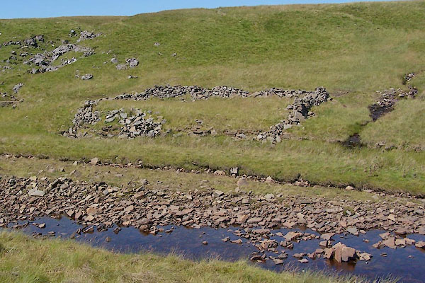
| Low Fold, Dufton | ||
| Low Fold | ||
| locality:- | Dufton Fell | |
| civil parish:- | Dufton (formerly Westmorland) | |
| county:- | Cumbria | |
| locality type:- | sheepfold | |
| coordinates:- | NY77502678 (?) | |
| 1Km square:- | NY7726 | |
| 10Km square:- | NY72 | |
| references:- | OS County Series |
|
|
|
||
 BVB81.jpg (taken 24.7.2011) 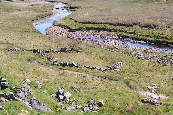 BQR99.jpg (taken 1.6.2009) |
||
|
|
||
| evidence:- | old map:- OS County Series (Wmd 6 15) placename:- Low Fold |
|
| source data:- | Maps, County Series maps of Great Britain, scales 6 and 25
inches to 1 mile, published by the Ordnance Survey, Southampton,
Hampshire, from about 1863 to 1948. "Low Fold" |
|
|
|
||
 Lakes Guides menu.