 Old Cumbria Gazetteer
 |
 |
|
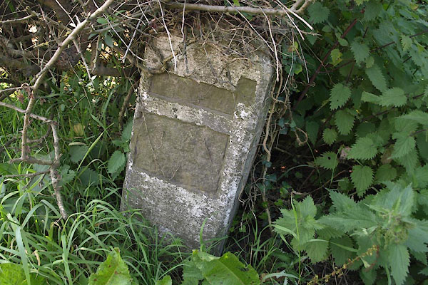
| milestone, Kirkandrews (2) | ||
| site name:- | road, Longtown to Edinburgh | |
| civil parish:- | Kirkandrews (formerly Cumberland) | |
| county:- | Cumbria | |
| locality type:- | milestone | |
| coordinates:- | NY38727320 | |
| 1Km square:- | NY3873 | |
| 10Km square:- | NY37 | |
| country:- | Scotland | |
| SummaryText:- | On the England/Scotland border. | |
| references:- | OS County Series |
|
|
|
||
 BTM54.jpg (taken 3.9.2010) |
||
|
|
||
| evidence:- | old map:- OS County Series (Cmd 6) |
|
| source data:- | Maps, County Series maps of Great Britain, scales 6 and 25
inches to 1 mile, published by the Ordnance Survey, Southampton,
Hampshire, from about 1863 to 1948. "EDINBURGH M.S. 81½" |
|
|
|
||
 Lakes Guides menu.