 Old Cumbria Gazetteer
 |
 |
|
| Scalebarrow Tarn, Shap Rural | ||
| Scalebarrow Tarn | ||
| locality:- | Scalebarrow Knott | |
| locality:- | Rosgill Moor | |
| civil parish:- | Shap Rural (formerly Westmorland) | |
| county:- | Cumbria | |
| locality type:- | tarn | |
| coordinates:- | NY51911511 (about) | |
| 1Km square:- | NY5115 | |
| 10Km square:- | NY51 | |
| altitude:- | 1086 feet | |
| altitude:- | 331m | |
|
|
||
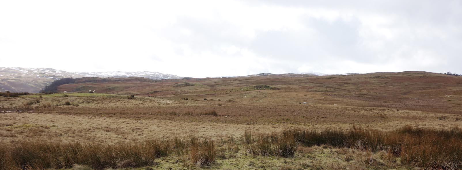 Click to enlarge BZW78.jpg (taken 16.2.2014) |
||
|
|
||
| evidence:- | old map:- OS County Series (Wmd 13 16) placename:- Scalebarrow Tarn |
|
| source data:- | Maps, County Series maps of Great Britain, scales 6 and 25
inches to 1 mile, published by the Ordnance Survey, Southampton,
Hampshire, from about 1863 to 1948. |
|
|
|
||
 Lakes Guides menu.