 Old Cumbria Gazetteer
 |
 |
|
| school, Boltons | ||
| Boltons School | ||
| locality:- | Bolton New Houses | |
| civil parish:- | Boltons (formerly Cumberland) | |
| county:- | Cumbria | |
| locality type:- | school | |
| coordinates:- | NY24804401 | |
| 1Km square:- | NY2444 | |
| 10Km square:- | NY24 | |
| references:- | OS County Series |
|
|
|
||
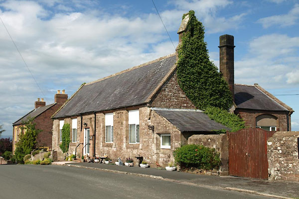 BVD85.jpg Now 'Parson House'. (taken 5.8.2011) 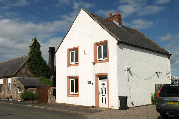 BVD86.jpg School House next door, (taken 5.8.2011) |
||
|
|
||
| evidence:- | old map:- OS County Series (Cmd 37 1) placename:- National School |
|
| source data:- | Maps, County Series maps of Great Britain, scales 6 and 25
inches to 1 mile, published by the Ordnance Survey, Southampton,
Hampshire, from about 1863 to 1948. "National School" |
|
|
|
||
 Lakes Guides menu.