 Old Cumbria Gazetteer
 |
 |
|
| school, Crosby | ||
| Crosby School | ||
| locality:- | Crosby | |
| civil parish:- | Crosscanonby (formerly Cumberland) | |
| county:- | Cumbria | |
| locality type:- | buildings | |
| locality type:- | school (ex) | |
| coordinates:- | NY07213839 | |
| 1Km square:- | NY0738 | |
| 10Km square:- | NY03 | |
| references:- | OS County Series |
|
|
|
||
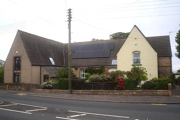 CFJ03.jpg (taken 12.8.2016) 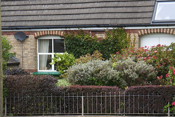 CFJ04.jpg Part of the old school? (taken 12.8.2016) |
||
|
|
||
| evidence:- | old map:- OS County Series (Cmd 45 2) |
|
| source data:- | Maps, County Series maps of Great Britain, scales 6 and 25
inches to 1 mile, published by the Ordnance Survey, Southampton,
Hampshire, from about 1863 to 1948. "Church of England School / Play Ground" |
|
|
|
||
| notes:- |
Children walked to school with their sandwiches and a bottle of tea, which was kept
warm by the school fire. |
|
|
|
||
 Lakes Guides menu.