 Old Cumbria Gazetteer
 |
 |
|
| High Hesket CofE School, High Hesket | ||
| High Hesket CofE School | ||
| locality:- | High Hesket | |
| civil parish:- | Hesket (formerly Cumberland) | |
| county:- | Cumbria | |
| locality type:- | school | |
| coordinates:- | NY47624427 | |
| 1Km square:- | NY4744 | |
| 10Km square:- | NY44 | |
| references:- | OS County Series |
|
|
|
||
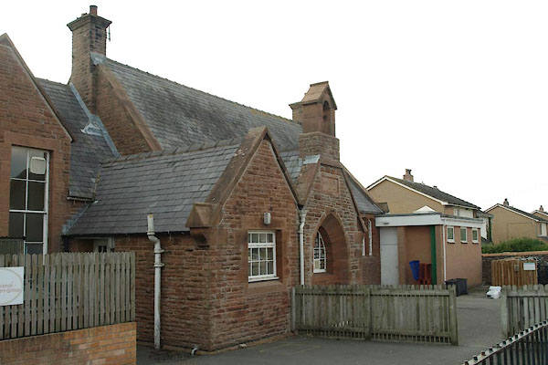 BTM89.jpg (taken 3.9.2010) 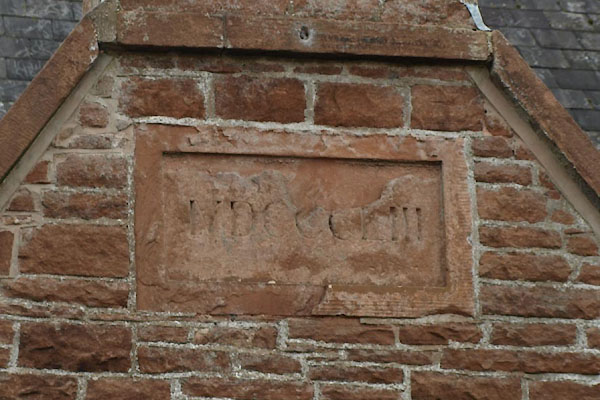 BTM90.jpg Date:- "MDCCCLIII" (taken 3.9.2010) |
||
|
|
||
| evidence:- | old map:- OS County Series (Cmd 39 3) |
|
| source data:- | Maps, County Series maps of Great Britain, scales 6 and 25
inches to 1 mile, published by the Ordnance Survey, Southampton,
Hampshire, from about 1863 to 1948. "Endowed School" |
|
|
|
||
 BTM91.jpg School sign; this is Hesket in the Forest. (taken 3.9.2010) |
||
|
|
||
 Lakes Guides menu.