 Old Cumbria Gazetteer
 |
 |
|
| school, Lindale | ||
| Lindale CofE primary School | ||
| locality:- | Lindale | |
| civil parish:- | Upper Allithwaite (formerly Lancashire) | |
| county:- | Cumbria | |
| locality type:- | school | |
| coordinates:- | SD41578039 | |
| 1Km square:- | SD4180 | |
| 10Km square:- | SD48 | |
|
|
||
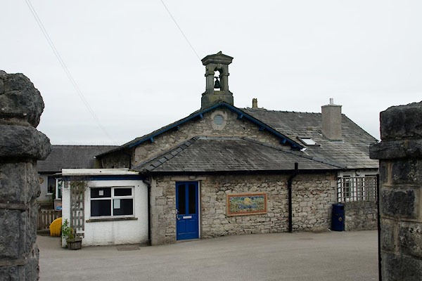 BUQ42.jpg (taken 1.6.2011) 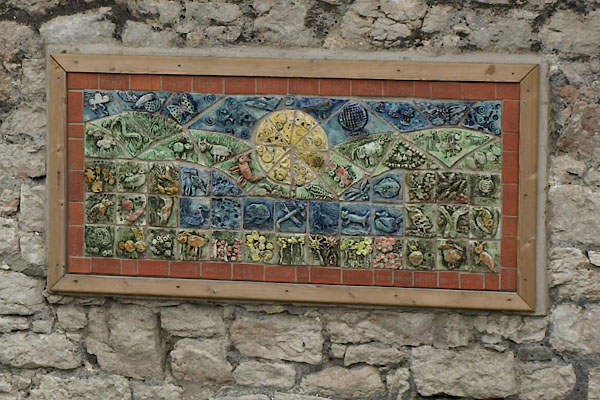 BUQ43.jpg Mosaic. (taken 1.6.2011) |
||
|
|
||
| evidence:- | old map:- OS County Series (Lan 12) |
|
| source data:- | Maps, County Series maps of Great Britain, scales 6 and 25
inches to 1 mile, published by the Ordnance Survey, Southampton,
Hampshire, from about 1863 to 1948. "Parish School" at Lindale |
|
|
|
||
 Lakes Guides menu.