 Old Cumbria Gazetteer
 |
 |
|
| Plumpton School, Plumpton | ||
| Plumpton School | ||
| Salkeld Gate School | ||
| locality:- | Plumpton | |
| civil parish:- | Hesket (formerly Cumberland) | |
| county:- | Cumbria | |
| locality type:- | school | |
| coordinates:- | NY49743712 | |
| 1Km square:- | NY4937 | |
| 10Km square:- | NY43 | |
|
|
||
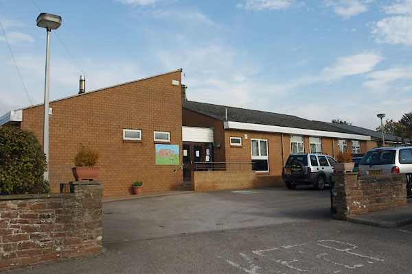 BTP71.jpg New building at the front. (taken 8.10.2010)  BTP72.jpg School sign, using the old building. (taken 8.10.2010) |
||
|
|
||
| evidence:- | old map:- OS County Series (Cmd 49) |
|
| source data:- | Maps, County Series maps of Great Britain, scales 6 and 25
inches to 1 mile, published by the Ordnance Survey, Southampton,
Hampshire, from about 1863 to 1948. "Endowed School" at Salkeld Gate |
|
|
|
||
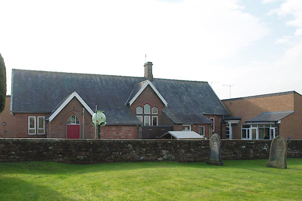 BTP70.jpg Old building behind. (taken 8.10.2010) 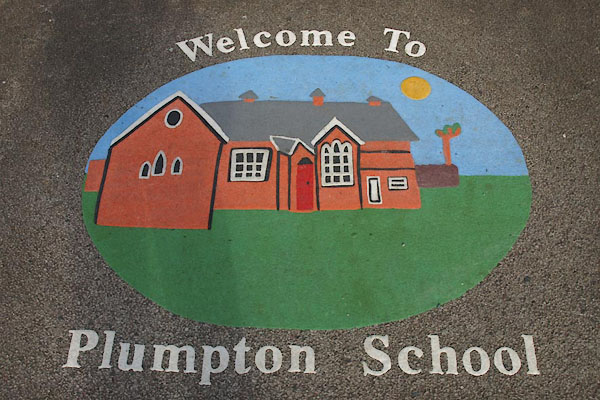 BTP73.jpg School sign on ground. (taken 8.10.2010) |
||
|
|
||
 Lakes Guides menu.