 Old Cumbria Gazetteer
 |
 |
|
| school, Sebergham | ||
| Sebergham School | ||
| locality:- | Churchtown | |
| civil parish:- | Sebergham (formerly Cumberland) | |
| county:- | Cumbria | |
| locality type:- | school | |
| coordinates:- | NY36444188 | |
| 1Km square:- | NY3641 | |
| 10Km square:- | NY34 | |
| references:- | OS County Series |
|
|
|
||
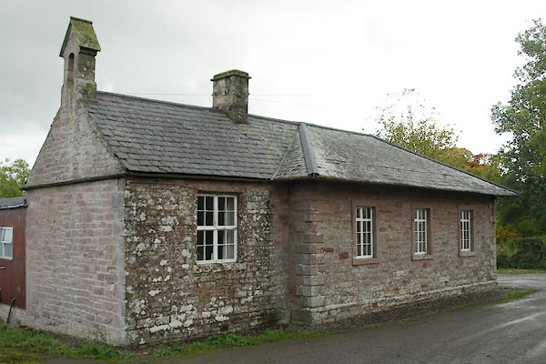 BTS31.jpg (taken 22.10.2010) 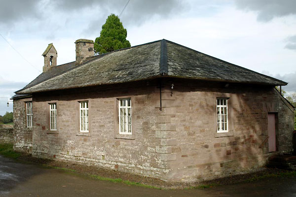 BTS43.jpg (taken 22.10.2010) |
||
|
|
||
| evidence:- | old map:- OS County Series (Cmd 38 6) |
|
| source data:- | Maps, County Series maps of Great Britain, scales 6 and 25
inches to 1 mile, published by the Ordnance Survey, Southampton,
Hampshire, from about 1863 to 1948. "School" |
|
|
|
||
 Lakes Guides menu.