 Old Cumbria Gazetteer
 |
 |
|
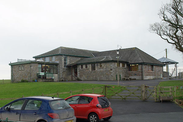
| Waberthwaite CofE Primary School, Waberthwaite | ||
| Waberthwaite CofE Primary School | ||
| Waberthwaite School | ||
| locality:- | Lane End | |
| locality:- | Waberthwaite | |
| civil parish:- | Waberthwaite (formerly Cumberland) | |
| county:- | Cumbria | |
| locality type:- | school | |
| coordinates:- | SD10489331 | |
| 1Km square:- | SD1093 | |
| 10Km square:- | SD19 | |
| references:- | OS County Series |
|
|
|
||
 BVS41.jpg (taken 24.11.2011) |
||
|
|
||
| evidence:- | old map:- OS County Series (Cmd 82) |
|
| source data:- | Maps, County Series maps of Great Britain, scales 6 and 25
inches to 1 mile, published by the Ordnance Survey, Southampton,
Hampshire, from about 1863 to 1948. "School" |
|
|
|
||
 Lakes Guides menu.