 Old Cumbria Gazetteer
 |
 |
|
| Annegarth, Martindale | ||
| Annegarth | ||
| locality:- | Martindale | |
| civil parish:- | Martindale (formerly Westmorland) | |
| county:- | Cumbria | |
| locality type:- | buildings | |
| coordinates:- | NY43441908 | |
| 1Km square:- | NY4319 | |
| 10Km square:- | NY41 | |
|
|
||
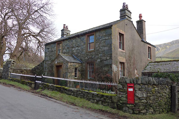 BZZ29.jpg (taken 27.2.2014) 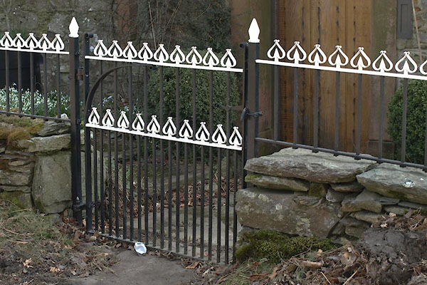 BYB92.jpg Gate and railings. (taken 10.4.2013) |
||
|
|
||
| evidence:- | old map:- OS County Series (Wmd 12 4) placename:- Annegarth |
|
| source data:- | Maps, County Series maps of Great Britain, scales 6 and 25
inches to 1 mile, published by the Ordnance Survey, Southampton,
Hampshire, from about 1863 to 1948. |
|
|
|
||
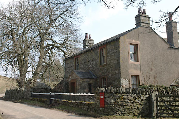 BYB91.jpg (taken 10.4.2013) |
||
|
|
||
 Lakes Guides menu.