 Old Cumbria Gazetteer
 |
 |
|
| Stock Bridge, Long Marton | ||
| Stock Bridge | ||
| site name:- | Brampton Beck (2) | |
| locality:- | Brampton | |
| civil parish:- | Long Marton (formerly Westmorland) | |
| civil parish:- | Dufton (formerly Westmorland) | |
| county:- | Cumbria | |
| locality type:- | bridge | |
| coordinates:- | NY68582347 | |
| 1Km square:- | NY6823 | |
| 10Km square:- | NY62 | |
|
|
||
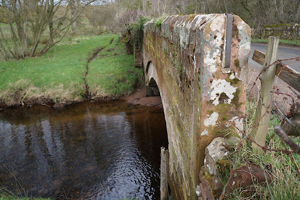 CAD52.jpg (taken 21.3.2014) |
||
|
|
||
| evidence:- | old map:- OS County Series (Wmd 9 8) placename:- Stock Bridge |
|
| source data:- | Maps, County Series maps of Great Britain, scales 6 and 25
inches to 1 mile, published by the Ordnance Survey, Southampton,
Hampshire, from about 1863 to 1948. "Stock Bridge" |
|
|
|
||
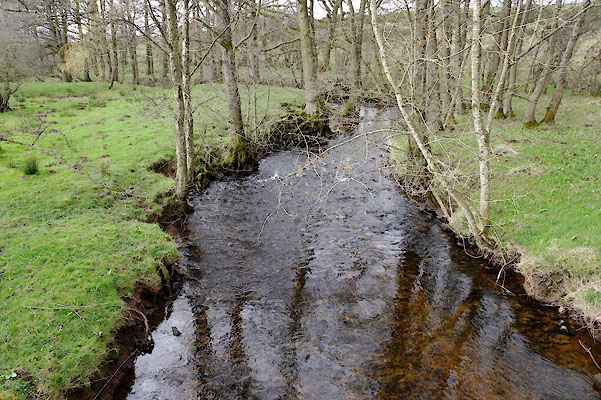 CAD53.jpg View of river. (taken 21.3.2014) |
||
|
|
||
 Lakes Guides menu.