 Old Cumbria Gazetteer
 |
 |
|
| toll gate, Scotsdike | ||
| site name:- | road, Carlisle to Jedburgh (?) | |
| locality:- | Scotsdike | |
| civil parish:- | Kirkandrews (formerly Cumberland) | |
| county:- | Cumbria | |
| locality type:- | toll gate (site) | |
| coordinates:- | NY38717315 | |
| 1Km square:- | NY3873 | |
| 10Km square:- | NY37 | |
| references:- | OS County Series |
|
|
|
||
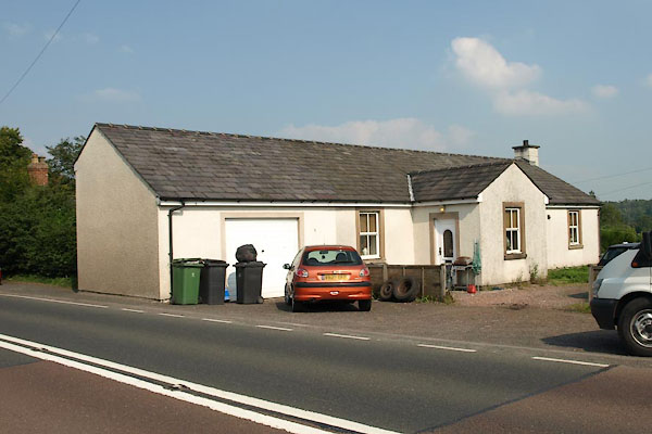 BTM53.jpg (taken 3.9.2010) |
||
| This building matches to the 6inch CS map. |
||
|
|
||
| evidence:- | old map:- OS County Series (Cmd 6) |
|
| source data:- | Maps, County Series maps of Great Britain, scales 6 and 25
inches to 1 mile, published by the Ordnance Survey, Southampton,
Hampshire, from about 1863 to 1948. "T.P." at Scotsdike; line across road |
|
|
|
||
 Lakes Guides menu.