 Old Cumbria Gazetteer
 |
 |
|
| Torver Bridge, Torver | ||
| Torver Bridge | ||
| New Bridge | ||
| site name:- | Torver Beck | |
| site name:- | Walna Scar Road | |
| civil parish:- | Torver (formerly Lancashire) | |
| civil parish:- | Coniston (formerly Lancashire) | |
| county:- | Cumbria | |
| locality type:- | packhorse bridge | |
| locality type:- | bridge | |
| coordinates:- | SD27099648 | |
| 1Km square:- | SD2796 | |
| 10Km square:- | SD29 | |
|
|
||
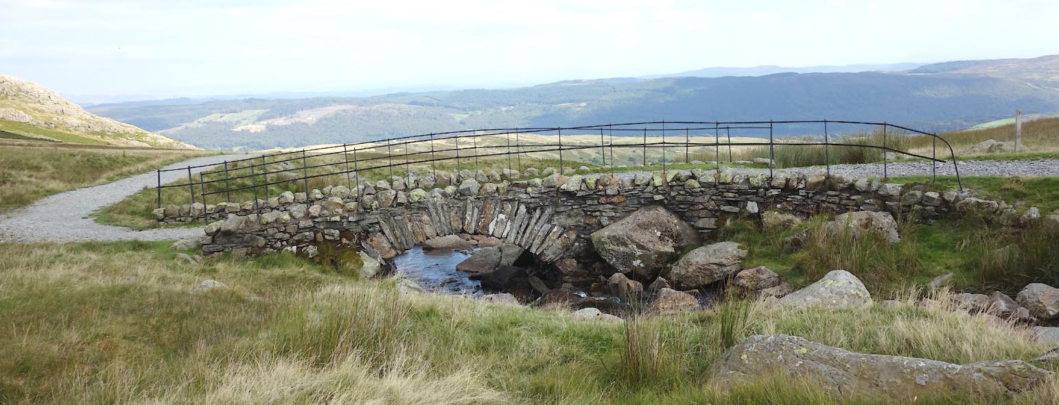
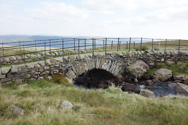 CBP39.jpg (taken 2.9.2014) 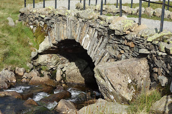 CBP41.jpg (taken 2.9.2014) |
||
|
|
||
| evidence:- | old map:- OS County Series (Lan 4) placename:- Torver Bridge |
|
| source data:- | Maps, County Series maps of Great Britain, scales 6 and 25
inches to 1 mile, published by the Ordnance Survey, Southampton,
Hampshire, from about 1863 to 1948. "Torver Bridge" |
|
|
|
||
 Click to enlarge CBP40.jpg (taken 2.9.2014) |
||
|
|
||
| :- |
12 foot span, 96 ins between parapets. It has been widened, upstream 57 ins wide;
downstream 78 ins wide, perhaps older. |
|
| Referred to as the New Bridge on a map, 1745. |
||
| Hinchcliffe, Ernest: 1994: Packhorse Bridges of England: Cicerone Press (Milnthorpe,
Cumbria) |
||
|
|
||
 Lakes Guides menu.