 Old Cumbria Gazetteer
 |
 |
|
| John Bull, Whicham | ||
| John Bull Inn | ||
| locality:- | Whicham | |
| civil parish:- | Whicham (formerly Cumberland) | |
| county:- | Cumbria | |
| locality type:- | buildings | |
| locality type:- | bonded warehouse (ex ?) | |
| locality type:- | warehouse (ex ?) | |
| locality type:- | inn (ex) | |
| coordinates:- | SD12948239 | |
| 1Km square:- | SD1282 | |
| 10Km square:- | SD18 | |
|
|
||
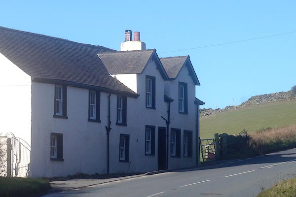 CEO76.jpg (taken 23.2.2016) |
||
|
|
||
| evidence:- | old map:- OS County Series (Cmd 88 9) placename:- Rosebank |
|
| source data:- | Maps, County Series maps of Great Britain, scales 6 and 25
inches to 1 mile, published by the Ordnance Survey, Southampton,
Hampshire, from about 1863 to 1948. "Rosebank / Spirit Vault" |
|
|
|
||
 Lakes Guides menu.