 Old Cumbria Gazetteer
 |
 |
|
| waterfall, Troutbeck | ||
| site name:- | Trout Beck (5) | |
| locality:- | Troutbeck | |
| civil parish:- | Lakes (formerly Westmorland) | |
| county:- | Cumbria | |
| locality type:- | waterfall | |
| coordinates:- | NY420055 (about) | |
| 1Km square:- | NY4205 | |
| 10Km square:- | NY40 | |
| references:- | Garnett 1850s-60s H |
|
|
|
||
| evidence:- | old map:- Garnett 1850s-60s H |
|
| source data:- | Map of the English Lakes, in Cumberland, Westmorland and
Lancashire, scale about 3.5 miles to 1 inch, published by John
Garnett, Windermere, Westmorland, 1850s-60s.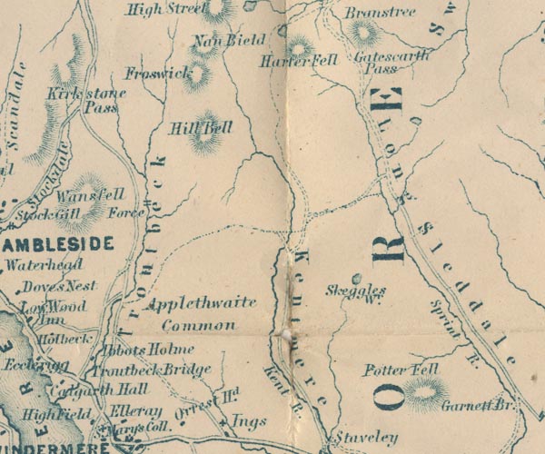 GAR2NY40.jpg "Force" two lines across a stream, waterfall item:- JandMN : 82.1 Image © see bottom of page |
|
|
|
||
| notes:- |
Nothing apparent on the County Series maps. Note that some of the river has been straightened. |
|
|
|
||
 Lakes Guides menu.