 Old Cumbria Gazetteer
 |
 |
|
| Whin Stone Gill Bridge, Sedbergh | ||
| Whin Stone Gill Bridge | ||
| site name:- | Whin Stone Gill | |
| civil parish:- | Sedbergh (formerly Yorkshire) | |
| county:- | Cumbria | |
| locality type:- | bridge | |
| coordinates:- | SD73589612 | |
| 1Km square:- | SD7396 | |
| 10Km square:- | SD79 | |
|
|
||
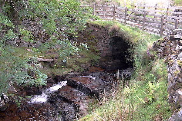 BWY23.jpg (taken 22.7.2012) |
||
| Built of sandstone; note the rawthey Gill Quarry, sandstone, nearby. |
||
|
|
||
| evidence:- | old map:- OS County series (Yrk 49) placename:- Queen's Stone Gill Bridge |
|
| source data:- | "Queen's Stone Gill Bridge" |
|
|
|
||
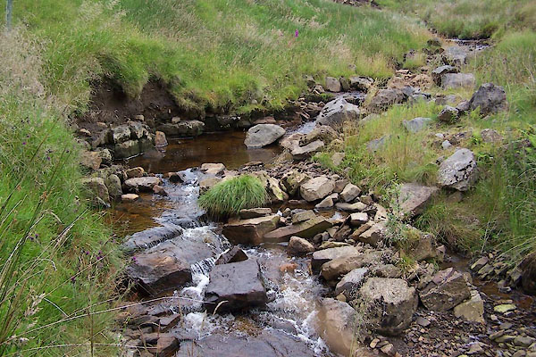 BWY24.jpg View of river. (taken 22.7.2012) |
||
|
|
||
 Lakes Guides menu.