 Old Cumbria Gazetteer
 |
 |
|
| Wickerstreet Thorn, Crosby Ravensworth | ||
| Wickerstreet Thorn | ||
| locality:- | Wicker Street | |
| locality:- | Crosby Ravensworth Fell | |
| civil parish:- | Crosby Ravensworth (formerly Westmorland) | |
| county:- | Cumbria | |
| locality type:- | tree | |
| locality type:- | thorn | |
| coordinates:- | NY60431180 (?) | |
| 1Km square:- | NY6011 | |
| 10Km square:- | NY61 | |
| references:- | OS County Series |
|
|
|
||
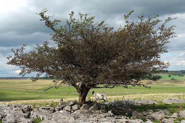 CGM06.jpg Thorn, Crataegus monogyna? (taken 2.9.2017) 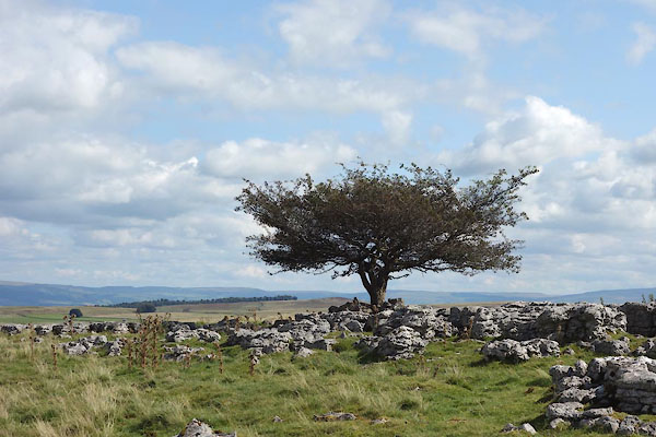 CGM07.jpg Thorn, Crataegus monogyna? (taken 2.9.2017) |
||
|
|
||
| evidence:- | old map:- OS County Series (Wmd 21 8) placename:- Wickerstreet Thorn |
|
| source data:- | Maps, County Series maps of Great Britain, scales 6 and 25
inches to 1 mile, published by the Ordnance Survey, Southampton,
Hampshire, from about 1863 to 1948. "Wickerstreet Thorn" |
|
|
|
||
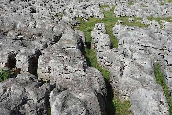 CGM08.jpg limestone pavement at the thron. (taken 2.9.2017) |
||
|
|
||
 Lakes Guides menu.