 Old Cumbria Gazetteer
 |
 |
|
| Low Bridge, Maulds Meaburn | ||
| Low Bridge | ||
| site name:- | Lyvennet Beck | |
| locality:- | Maulds Meaburn | |
| civil parish:- | Crosby Ravensworth (formerly Westmorland) | |
| county:- | Cumbria | |
| locality type:- | bridge | |
| coordinates:- | NY62451677 | |
| 1Km square:- | NY6216 | |
| 10Km square:- | NY61 | |
|
|
||
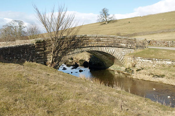 BSH46.jpg (taken 14.3.2010) 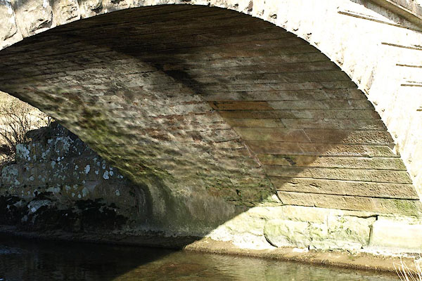 BSH47.jpg View under, evidence of widenning. (taken 14.3.2010) |
||
|
|
||
| evidence:- | old map:- OS County Series (Wmd 14 12) placename:- Low Bridge placename:- Bridge, Low |
|
| source data:- | Maps, County Series maps of Great Britain, scales 6 and 25
inches to 1 mile, published by the Ordnance Survey, Southampton,
Hampshire, from about 1863 to 1948. |
|
|
|
||
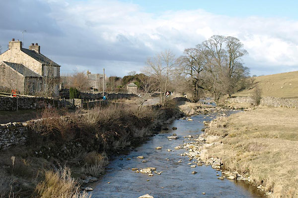 BSH48.jpg View of river. (taken 14.3.2010) |
||
|
|
||
 Lakes Guides menu.