 Old Cumbria Gazetteer
 |
 |
|
| railway bridge, Shap | ||
| site name:- | Lancaster and Carlisle Railway | |
| locality:- | Shap | |
| civil parish:- | Shap (formerly Westmorland) | |
| county:- | Cumbria | |
| locality type:- | railway bridge | |
| coordinates:- | NY56161576 | |
| 1Km square:- | NY5615 | |
| 10Km square:- | NY51 | |
|
|
||
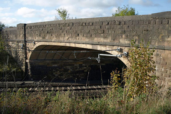 BRS65.jpg (taken 16.10.2009) |
||
|
|
||
| evidence:- | old map:- OS County Series (Wmd 14 10) placename:- Skew Bridge |
|
| source data:- | Maps, County Series maps of Great Britain, scales 6 and 25
inches to 1 mile, published by the Ordnance Survey, Southampton,
Hampshire, from about 1863 to 1948. "Skew Bridge" |
|
|
|
||
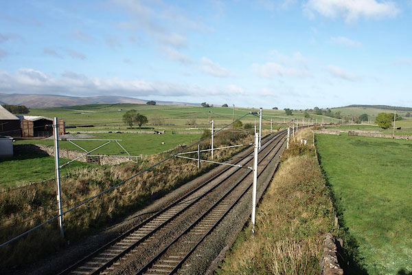 BRS66.jpg View N. (taken 16.10.2009) 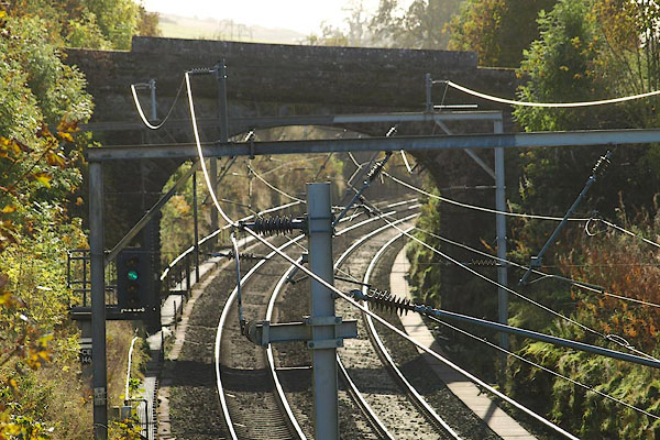 BRS64.jpg View S. (taken 16.10.2009) |
||
|
|
||
 Lakes Guides menu.