 Old Cumbria Gazetteer
 |
 |
|
| school, Leadgate | ||
| Leadgate School | ||
| locality:- | Leadgate | |
| civil parish:- | Alston Moor (formerly Cumberland) | |
| county:- | Cumbria | |
| locality type:- | school | |
| coordinates:- | NY70634374 | |
| 1Km square:- | NY7043 | |
| 10Km square:- | NY74 | |
| references:- | OS County Series |
|
|
|
||
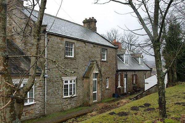 BSJ40.jpg (taken 26.3.2010) |
||
|
|
||
| evidence:- | old map:- OS County Series (Cmd 41 4) placename:- National School |
|
| source data:- | Maps, County Series maps of Great Britain, scales 6 and 25
inches to 1 mile, published by the Ordnance Survey, Southampton,
Hampshire, from about 1863 to 1948. "National School / Play Ground" |
|
|
|
||
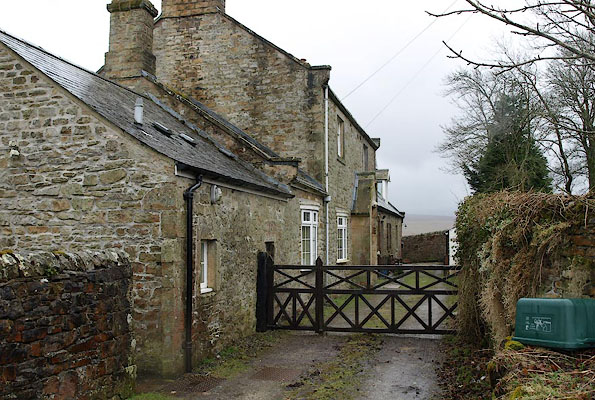 BSJ39.jpg (taken 26.3.2010) |
||
|
|
||
 Lakes Guides menu.