 Old Cumbria Gazetteer
 |
 |
|
| milestone, Irthington | ||
| site name:- | road, Brampton to Longtown | |
| civil parish:- | Irthington (formerly Cumberland) | |
| county:- | Cumbria | |
| locality type:- | milestone | |
| coordinates:- | NY47746374 | |
| 1Km square:- | NY4763 | |
| 10Km square:- | NY46 | |
|
|
||
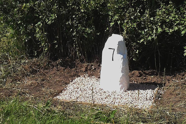 CEL82.jpg Inscribed stone:- "7" (taken 2015) courtesy of Terry Moore Image © Terry Moore |
||
|
|
||
| evidence:- | old map:- OS County Series (Cmd 11 15) |
|
| source data:- | Maps, County Series maps of Great Britain, scales 6 and 25
inches to 1 mile, published by the Ordnance Survey, Southampton,
Hampshire, from about 1863 to 1948. "M.S Longtown 7 Brampton 4" |
|
|
|
||
| evidence:- | database:- Listed Buildings 2010 |
|
| source data:- | courtesy of English Heritage "MILESTONE, EAST OF HIGHBERRIES BRIDGE AT NATIONAL GRID REFERENCE NY 47760 63720 / / A6071 / IRTHINGTON / CARLISLE / CUMBRIA / DL / 77891 / NY4774963737" |
|
| source data:- | courtesy of English Heritage "Milestone. 1807 for the Longtown-Brampton Turnpike Trust. Red sandstone. Squared stone, set at angle to give two faces in direction of traffic. Incised 7 on one side indicating the miles to Longtown and incised 4 on the other side, indicating the miles to Brampton. Whitewashed with numbers picked-out in black." |
|
|
|
||
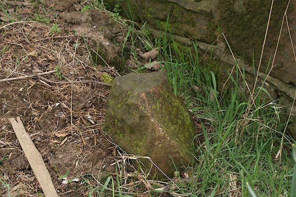 BSK72.jpg This may or may not be the milestone, defaced (taken 2.4.2010) |
||
|
|
||
 Lakes Guides menu.