 Old Cumbria Gazetteer
 |
 |
|
| Beechwood Cottage, Farlam | ||
| Beechwood Cottage | ||
| site name:- | road, Brampton to Haltwhistle | |
| civil parish:- | Farlam (formerly Cumberland) | |
| county:- | Cumbria | |
| locality type:- | buildings | |
| locality type:- | toll gate (site) | |
| locality type:- | toll house (ex) | |
| coordinates:- | NY58955989 | |
| 1Km square:- | NY5859 | |
| 10Km square:- | NY55 | |
| references:- | OS County Series |
|
|
|
||
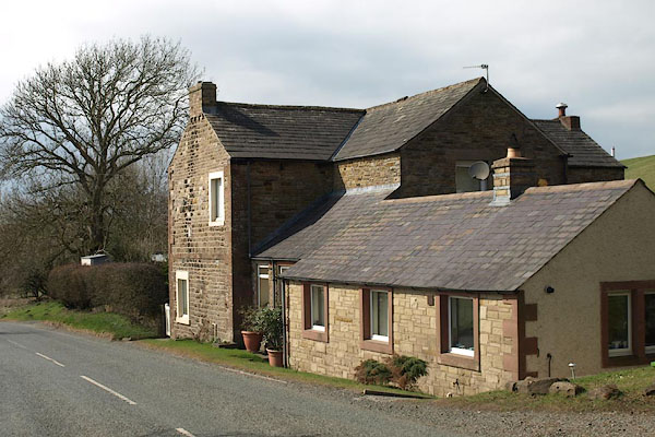 BSK79.jpg (taken 2.4.2010) |
||
|
|
||
| evidence:- | old map:- OS County Series (Cmd 18 11) placename:- Hallbank Turn Pike |
|
| source data:- | Maps, County Series maps of Great Britain, scales 6 and 25
inches to 1 mile, published by the Ordnance Survey, Southampton,
Hampshire, from about 1863 to 1948. "Hallbank T.P." gate across road, and building |
|
|
|
||
 Lakes Guides menu.