 Old Cumbria Gazetteer
 |
 |
|
| school, Underbarrow | ||
| Underbarrow School | ||
| locality:- | Underbarrow | |
| civil parish:- | Underbarrow and Bradleyfield (formerly Westmorland) | |
| county:- | Cumbria | |
| locality type:- | school (once) | |
| coordinates:- | SD46329254 | |
| 1Km square:- | SD4692 | |
| 10Km square:- | SD49 | |
| references:- | OS County Series |
|
|
|
||
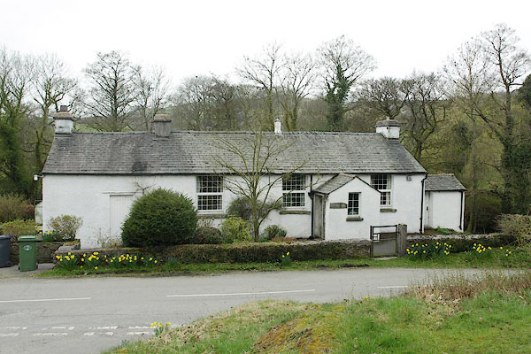 BSL83.jpg (taken 9.4.2010) |
||
|
|
||
| evidence:- | old map:- OS County Series (Wmd 38) placename:- School House |
|
| source data:- | Maps, County Series maps of Great Britain, scales 6 and 25
inches to 1 mile, published by the Ordnance Survey, Southampton,
Hampshire, from about 1863 to 1948. "School House" |
|
|
|
||
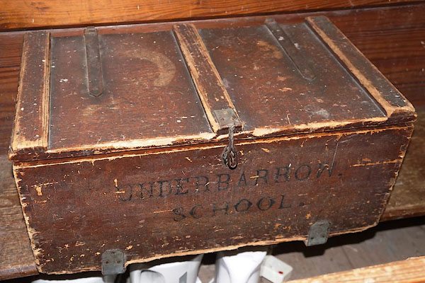 CBQ41.jpg School box, now in the church. (taken 12.9.2014) |
||
|
|
||
 Lakes Guides menu.