 Old Cumbria Gazetteer
 |
 |
|
| Burlington CofE School, Kirkby-in-Furness | ||
| Burlington CofE School | ||
| locality:- | Four Lane Ends | |
| locality:- | Kirkby-in-Furness | |
| civil parish:- | Kirkby Ireleth (formerly Lancashire) | |
| county:- | Cumbria | |
| locality type:- | school | |
| coordinates:- | SD23298269 | |
| 1Km square:- | SD2382 | |
| 10Km square:- | SD28 | |
|
|
||
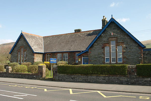 BSN06.jpg (taken 16.4.2010) 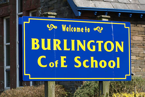 BSN07.jpg (taken 16.4.2010) |
||
|
|
||
| evidence:- | old map:- OS County Series (Lan 11 5) placename:- Burlington School |
|
| source data:- | Maps, County Series maps of Great Britain, scales 6 and 25
inches to 1 mile, published by the Ordnance Survey, Southampton,
Hampshire, from about 1863 to 1948. "Burlington School" |
|
|
|
||
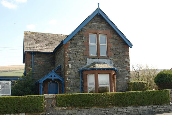 BSN08.jpg School house. (taken 16.4.2010) 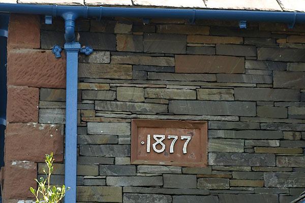 BSN09.jpg Date:- "1877" (taken 16.4.2010) |
||
|
|
||
 Lakes Guides menu.