 Old Cumbria Gazetteer
 |
 |
|
| Blind Bridge, Soulby | ||
| Blind Bridge | ||
| site name:- | Blind Beck (2) | |
| civil parish:- | Soulby (formerly Westmorland) | |
| county:- | Cumbria | |
| locality type:- | bridge | |
| coordinates:- | NY73891083 | |
| 1Km square:- | NY7310 | |
| 10Km square:- | NY71 | |
| references:- | OS County Series |
|
|
|
||
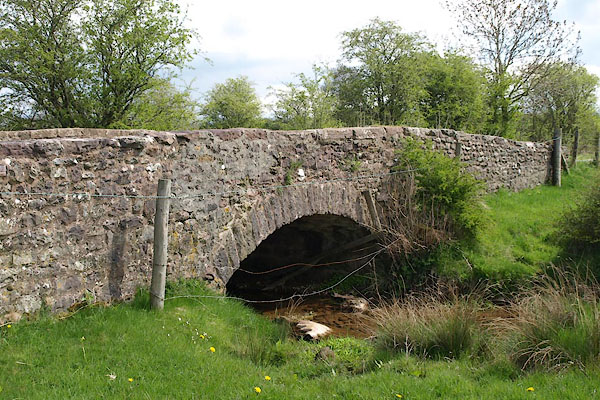 BSS74.jpg (taken 11.5.2010) |
||
|
|
||
| evidence:- | old map:- OS County Series (Wmd 23 5) placename:- Blind Bridge |
|
| source data:- | Maps, County Series maps of Great Britain, scales 6 and 25
inches to 1 mile, published by the Ordnance Survey, Southampton,
Hampshire, from about 1863 to 1948. "Blind Bridge" |
|
|
|
||
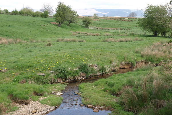 BSS75.jpg View of river. (taken 11.5.2010) |
||
|
|
||
 Lakes Guides menu.