 Old Cumbria Gazetteer
 |
 |
|
| Birks Bridge, Cartmel Fell | ||
| Birks Bridge | ||
| site name:- | Winster, River | |
| civil parish:- | Cartmel Fell (formerly Lancashire) | |
| civil parish:- | Crosthwaite and Lyth (formerly Westmorland) | |
| county:- | Cumbria | |
| locality type:- | bridge | |
| locality type:- | ford (?) | |
| coordinates:- | SD41319187 | |
| 1Km square:- | SD4191 | |
| 10Km square:- | SD49 | |
| references:- | Listed Buildings 2010 |
|
|
|
||
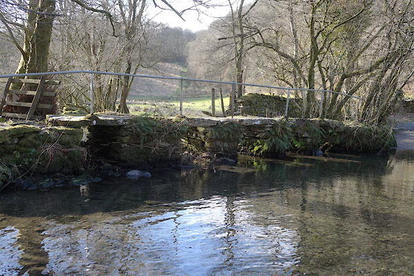 CCH89.jpg (taken 4.2.2105) 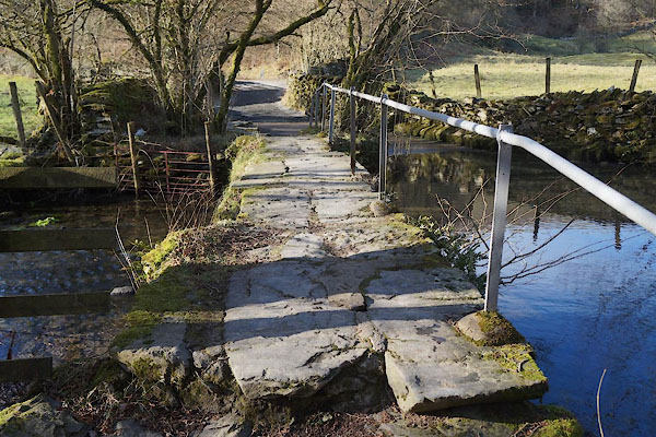 CCH90.jpg (taken 4.2.2105) |
||
|
|
||
| evidence:- | old map:- OS County Series (Wmd 37 8) placename:- Birks Bridge |
|
| source data:- | Maps, County Series maps of Great Britain, scales 6 and 25
inches to 1 mile, published by the Ordnance Survey, Southampton,
Hampshire, from about 1863 to 1948. |
|
|
|
||
| evidence:- | database:- Listed Buildings 2010 placename:- Birks Bridge |
|
| source data:- | courtesy of English Heritage "BIRKS BRIDGE (THAT PART IN CARTMEL FELL) / / / CARTMEL FELL / SOUTH LAKELAND / CUMBRIA / II / 421180 / SD4131191879" |
|
| source data:- | courtesy of English Heritage "BIRKS BRIDGE / / / CROSTHWAITE AND LYTH / SOUTH LAKELAND / CUMBRIA / II / 77123 / SD4131591879" |
|
| source data:- | courtesy of English Heritage "Clapper bridge over river Winster. Probably C17 or C18. 4 rectangular rubble piers and abutments; flagstones extended to either side as raised pavement. Iron handrail, probably C20. Part of this bridge is in Crosthwaite and Lyth C.P. ..." |
|
|
|
||
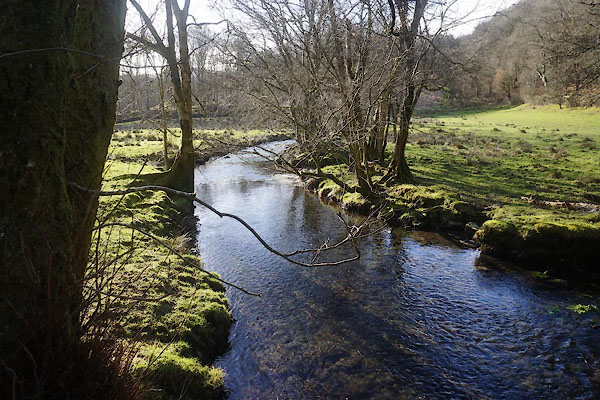 CCH91.jpg View of river. (taken 4.2.2015) |
||
|
|
||
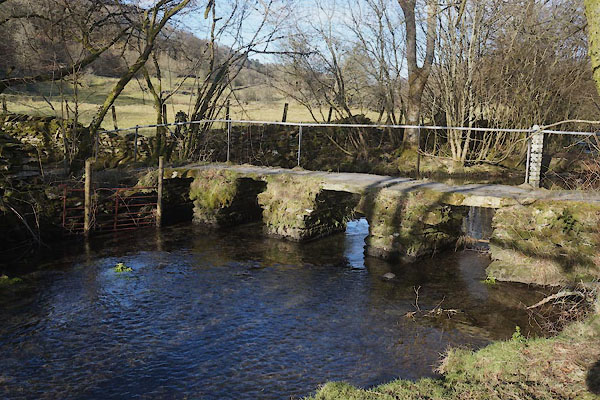 CCH88.jpg (taken 4.2.2105) |
||
|
|
||
 Lakes Guides menu.