 Old Cumbria Gazetteer
 |
 |
|
| Blakerigg Crag, Lakes | ||
| Blakerigg Crag | ||
| site name:- | Steel Fell | |
| civil parish:- | Lakes (formerly Westmorland) | |
| county:- | Cumbria | |
| locality type:- | rocks | |
| coordinates:- | NY31791099 (etc) | |
| 1Km square:- | NY3110 | |
| 10Km square:- | NY31 | |
|
|
||
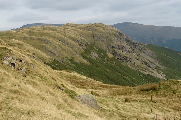 CBQ03.jpg (taken 14.3.2011) 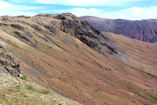 BUF76.jpg (taken 14.3.2011) |
||
|
|
||
| evidence:- | old map:- OS County Series (Wmd 18 12) placename:- Blakerigg Crag |
|
| source data:- | Maps, County Series maps of Great Britain, scales 6 and 25
inches to 1 mile, published by the Ordnance Survey, Southampton,
Hampshire, from about 1863 to 1948. |
|
|
|
||
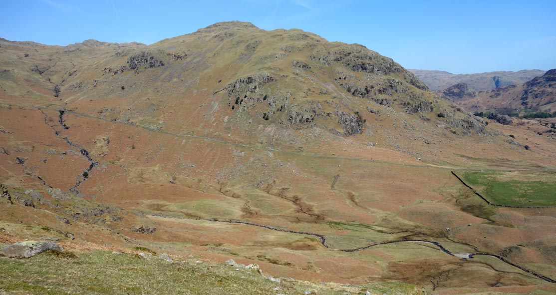 Click to enlarge CCX77.jpg (taken 22.4.2015) |
||
|
|
||
 Lakes Guides menu.