 Old Cumbria Gazetteer
 |
 |
|
| Bog Farm, Holme Abbey | ||
| Bog Farm | ||
| civil parish:- | Holme Abbey (formerly Cumberland) | |
| county:- | Cumbria | |
| locality type:- | buildings | |
| coordinates:- | NY13794763 | |
| 1Km square:- | NY1347 | |
| 10Km square:- | NY14 | |
| references:- | Listed Buildings 2010 |
|
|
|
||
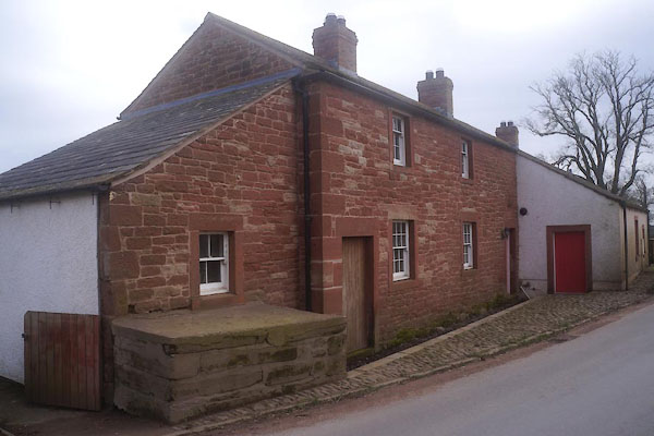 CFX65.jpg (taken 7.3.2017) 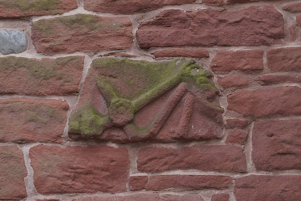 CFX66.jpg (taken 7.3.2017) |
||
|
|
||
| evidence:- | old map:- OS County Series (Cmd 28 9) placename:- Bog |
|
| source data:- | Maps, County Series maps of Great Britain, scales 6 and 25
inches to 1 mile, published by the Ordnance Survey, Southampton,
Hampshire, from about 1863 to 1948. |
|
|
|
||
| evidence:- | database:- Listed Buildings 2010 placename:- Bog Farm |
|
| source data:- | courtesy of English Heritage "BOG FARMHOUSE AND ADJOINING FORMER BARN / / / HOLME ABBEY / ALLERDALE / CUMBRIA / II / 71968 / NY1379347633" |
|
|
|
||
 Lakes Guides menu.