 Old Cumbria Gazetteer
 |
 |
|
| Bridge House, Wythop Mill | ||
| Bridge House | ||
| site name:- | Wythop Beck | |
| locality:- | Wythop Mill | |
| civil parish:- | Embleton (formerly Cumberland) | |
| county:- | Cumbria | |
| locality type:- | buildings | |
| locality type:- | mill (ex) | |
| locality type:- | water mill | |
| locality type:- | corn mill | |
| coordinates:- | NY17852949 | |
| 1Km square:- | NY1729 | |
| 10Km square:- | NY12 | |
|
|
||
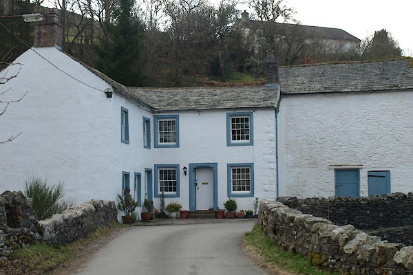 BUG97.jpg (taken 28.3.2011) |
||
|
|
||
| evidence:- | old map:- OS County Series (Cmd 55 6) |
|
| source data:- | Maps, County Series maps of Great Britain, scales 6 and 25
inches to 1 mile, published by the Ordnance Survey, Southampton,
Hampshire, from about 1863 to 1948. "Corn Mill / Mill Race" |
|
|
|
||
 Lakes Guides menu.