 Old Cumbria Gazetteer
 |
 |
|
| Bridge Terrace, Denton Holme | ||
| Bridge Terrace | ||
| locality:- | Denton Holme | |
| locality:- | Holme Head | |
| civil parish:- | Carlisle (formerly Cumberland) | |
| county:- | Cumbria | |
| locality type:- | buildings | |
| coordinates:- | NY39755455 | |
| 1Km square:- | NY3954 | |
| 10Km square:- | NY35 | |
| references:- | Listed Buildings 2010 |
|
|
|
||
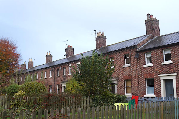 CFQ72.jpg (taken 4.11.2016) |
||
|
|
||
| evidence:- | old map:- OS County Series (Cmd 23 7) placename:- Bridge Terrace |
|
| source data:- | Maps, County Series maps of Great Britain, scales 6 and 25
inches to 1 mile, published by the Ordnance Survey, Southampton,
Hampshire, from about 1863 to 1948. |
|
|
|
||
| evidence:- | database:- Listed Buildings 2010 |
|
| source data:- | courtesy of English Heritage "/ 44593 / BRIDGE TERRACE / CARLISLE / CARLISLE / CUMBRIA / II / 386640 / NY3975254551" |
|
|
|
||
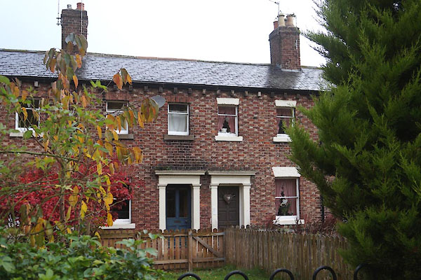 CFQ73.jpg (taken 4.11.2016) 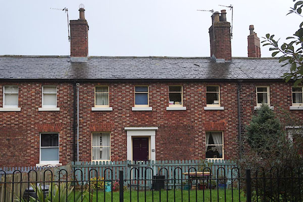 CFQ74.jpg (taken 4.11.2016) |
||
|
|
||
 Lakes Guides menu.