 Old Cumbria Gazetteer
 |
 |
|
| Carwinley Mill, Carwinley | ||
| Carwinley Mill | ||
| Carwinley Watermill | ||
| site name:- | Carwinley Burn | |
| locality:- | Carwinley | |
| civil parish:- | Arthuret (formerly Cumberland) | |
| county:- | Cumbria | |
| locality type:- | buildings | |
| coordinates:- | NY40347292 | |
| 1Km square:- | NY4072 | |
| 10Km square:- | NY47 | |
| SummaryText:- | Miller's house, and the mill by the river. | |
| references:- | Listed Buildings 2010 |
|
|
|
||
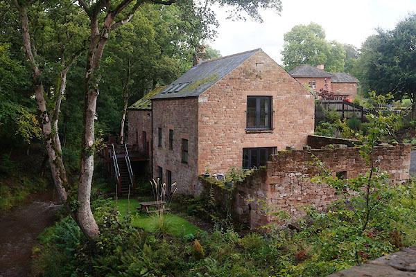 CBN35.jpg (taken 29.8.2014) 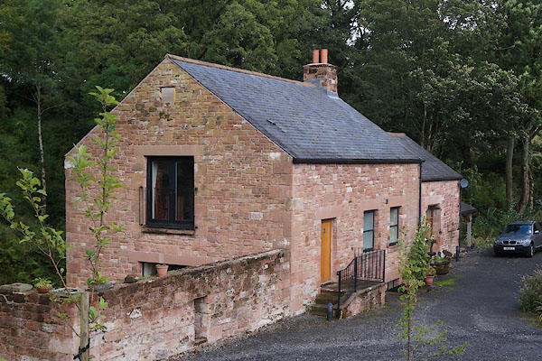 CBN36.jpg (taken 29.8.2014) |
||
|
|
||
| evidence:- | old map:- OS County Series (Cmd 6 11) placename:- Carwinley Mill |
|
| source data:- | Maps, County Series maps of Great Britain, scales 6 and 25
inches to 1 mile, published by the Ordnance Survey, Southampton,
Hampshire, from about 1863 to 1948. "Carwinley Mill (Corn) / Mill Race" |
|
|
|
||
| evidence:- | old map:- Donald 1774 (Cmd) placename:- Carwen Law Mill |
|
| source data:- | Map, hand coloured engraving, 3x2 sheets, The County of Cumberland, scale about 1
inch to 1 mile, by Thomas Donald, engraved and published by Joseph Hodskinson, 29
Arundel Street, Strand, London, 1774.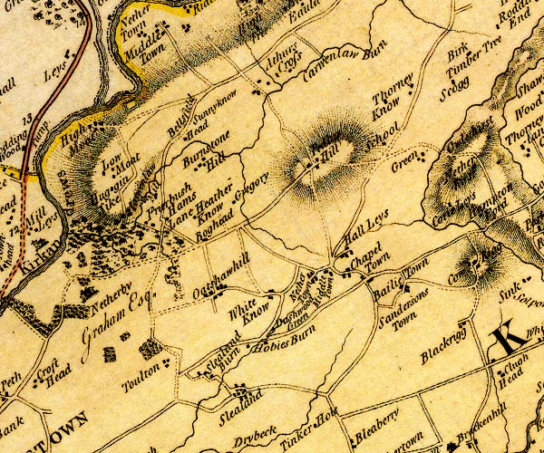 D4NY47SW.jpg "Carwen Law Mill" circle with rays, mill wheel; a water mill on Carwenlaw Burn item:- Carlisle Library : Map 2 Image © Carlisle Library |
|
|
|
||
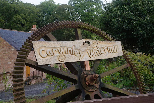 CBN37.jpg Sign. (taken 29.8.2014) |
||
|
|
||
 Lakes Guides menu.