 Old Cumbria Gazetteer
 |
 |
|
| Clesket Holme, Forest Head | ||
| Clesket Holme | ||
| locality:- | Forest Head | |
| civil parish:- | Farlam (formerly Cumberland) | |
| county:- | Cumbria | |
| locality type:- | building/s (ruin) | |
| coordinates:- | NY57805746 | |
| 1Km square:- | NY5757 | |
| 10Km square:- | NY55 | |
|
|
||
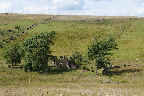 CBH18.jpg (taken 28.7.2014) 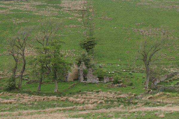 BUP03.jpg (taken 21.5.2011) |
||
|
|
||
| evidence:- | old map:- OS County Series (Cmd 18 15) placename:- Clesket Holme |
|
| source data:- | Maps, County Series maps of Great Britain, scales 6 and 25
inches to 1 mile, published by the Ordnance Survey, Southampton,
Hampshire, from about 1863 to 1948. |
|
|
|
||
 Lakes Guides menu.