 Old Cumbria Gazetteer
 |
 |
|
| Corries Mill Bridge, Kirkandrews | ||
| Corries Mill Bridge | ||
| Corries Mill Joint Bridge | ||
| site name:- | Sark, River | |
| civil parish:- | Kirkandrews (formerly Cumberland) | |
| county:- | Cumbria | |
| locality type:- | bridge | |
| locality type:- | national boundary | |
| coordinates:- | NY34527183 | |
| 1Km square:- | NY3471 | |
| 10Km square:- | NY37 | |
| country:- | Scotland | |
| current boundary | ||
| locality:- | Cumbria boundary | |
|
|
||
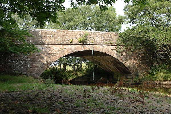 BTM37.jpg (taken 3.9.2010) 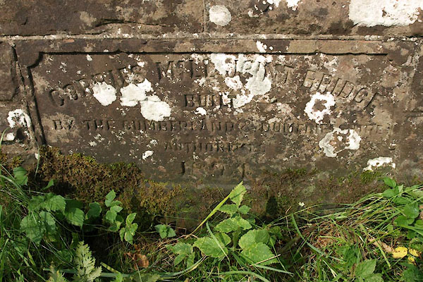 BTM39.jpg Plaque:- "CORRIES MILL JOINT BRIDGE / BUILT / BY THE CUMBERLAND &DUMFRIESSHIRE / AUTHORITIES / 1894" (taken 3.9.2010) |
||
|
|
||
| evidence:- | old map:- OS County Series (Cmd 6 13) |
|
| source data:- | Maps, County Series maps of Great Britain, scales 6 and 25
inches to 1 mile, published by the Ordnance Survey, Southampton,
Hampshire, from about 1863 to 1948. "Ford" |
|
|
|
||
| evidence:- | old map:- Donald 1774 (Cmd) |
|
| source data:- | Map, hand coloured engraving, 3x2 sheets, The County of Cumberland, scale about 1
inch to 1 mile, by Thomas Donald, engraved and published by Joseph Hodskinson, 29
Arundel Street, Strand, London, 1774.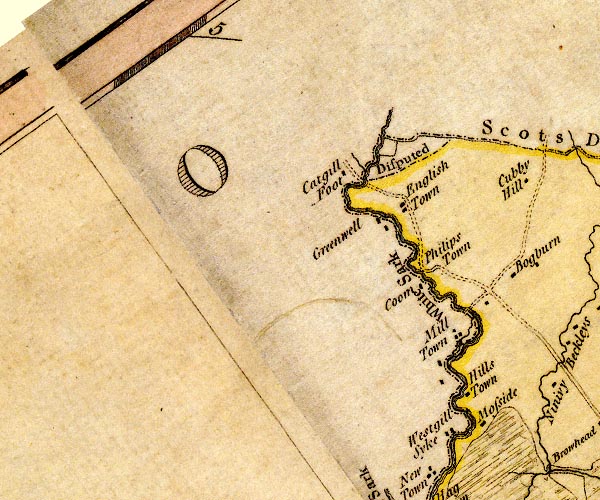 D4NY37SW.jpg road crossing the White Sark at Mill Town item:- Carlisle Library : Map 2 Image © Carlisle Library |
|
|
|
||
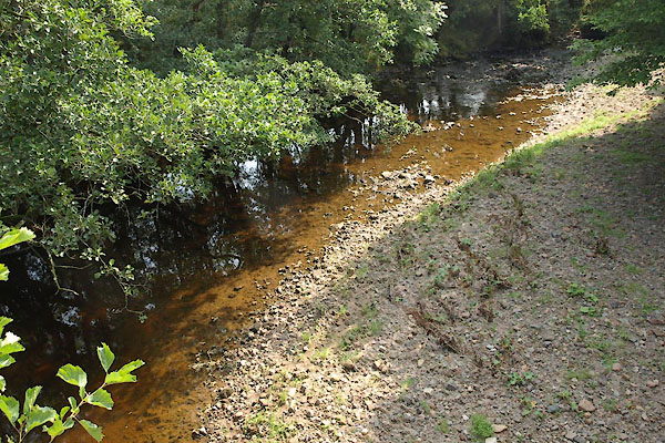 BTM40.jpg View of river. (taken 3.9.2010) |
||
|
|
||
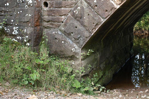 BTM38.jpg (taken 3.9.2010) |
||
|
|
||
 Lakes Guides menu.