 Old Cumbria Gazetteer
 |
 |
|
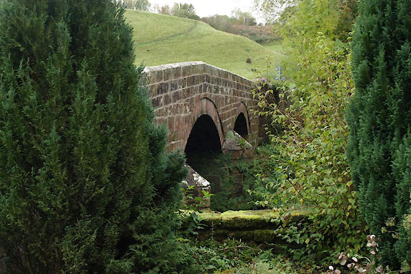
| Crooks Bridge, Hesket | ||
| Crooks Bridge | ||
| Petteril Crooks Bridge | ||
| site name:- | Petteril, River | |
| locality:- | Petteril Crooks | |
| civil parish:- | Hesket (formerly Cumberland) | |
| county:- | Cumbria | |
| locality type:- | bridge | |
| coordinates:- | NY44254812 | |
| 1Km square:- | NY4448 | |
| 10Km square:- | NY44 | |
|
|
||
 BTS19.jpg (taken 22.10.2010) 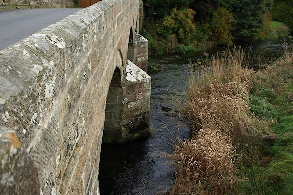 BTS20.jpg (taken 22.10.2010) |
||
|
|
||
| evidence:- | old map:- Bell 1892 placename:- Petteril Crooks Bridge |
|
| source data:- | Map, colour lithograph, Road Map of Cumberland, by George Joseph
Bell, scale about 2.5 miles to 1 inch, printed by Charles
Thurnam and Sons, Carlisle, Cumberland, 1892.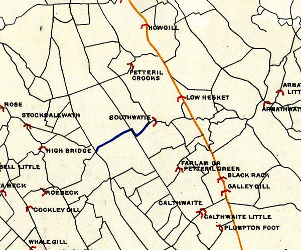 BEL9NY44.jpg "PETTERIL CROOKS" bridge symbol Road map of Cumberland showing County Bridges item:- Carlisle Library : Map 38 Image © Carlisle Library |
|
|
|
||
| evidence:- | database:- Listed Buildings 2010 placename:- Crook's Bridge |
|
| source data:- | courtesy of English Heritage "CROOK'S BRIDGE / / / HESKET / EDEN / CUMBRIA / II / 73929 / NY4425148116" |
|
| source data:- | courtesy of English Heritage "Roadbridge. Early C19. Mixed blocks of red and calciferous sandstone. 3 segmental arches on splayed cutwater piers, under solid chamfered parapet ending in square piers with shaped caps." |
|
|
|
||
| evidence:- | old drawing:- |
|
| source data:- | Drawing, Wreay Bridge, St Cuthbert Without, Cumberland, by Thomas Bushby, 1914.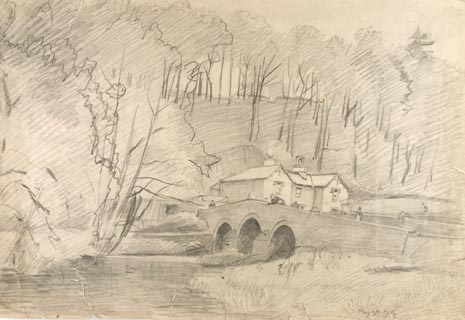 click to enlarge click to enlargePR1341.jpg To right of composition stands a stone 3 span bridge across a river. On far bank of river stands a house at the foot of a wooded hillside. Several lightly sketched figures stand on the bridge or lean over its parapet. dated at bottom right:- "May 9th 1914" item:- Tullie House Museum : 1996.252.30 Image © Tullie House Museum |
|
|
|
||
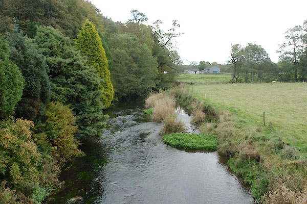 BTS21.jpg View of river. (taken 22.10.2010) |
||
|
|
||
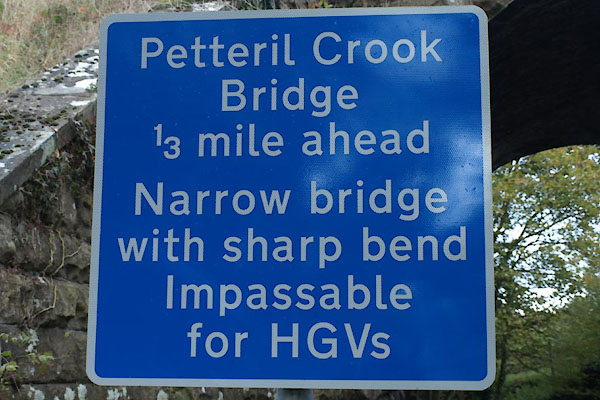 BTS25.jpg Warning sign. (taken 22.10.2010) |
||
|
|
||
 Lakes Guides menu.