 Old Cumbria Gazetteer
 |
 |
|
| Dale End, Little Langdale | ||
| Dale End | ||
| locality:- | Little Langdale | |
| civil parish:- | Lakes (formerly Westmorland) | |
| county:- | Cumbria | |
| locality type:- | buildings | |
| coordinates:- | NY31640377 | |
| 1Km square:- | NY3103 | |
| 10Km square:- | NY30 | |
| references:- | Listed Buildings 2010 |
|
|
|
||
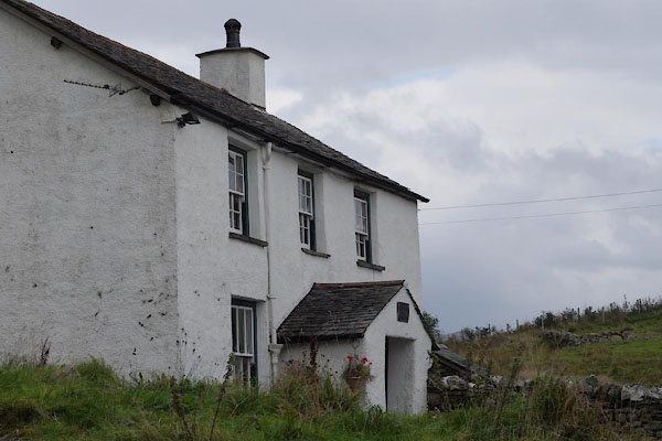 BZL42.jpg (taken 15.10.2013) 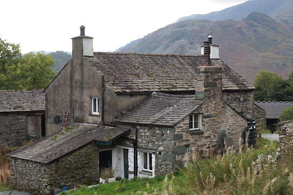 BZL43.jpg (taken 15.10.2013) |
||
|
|
||
| evidence:- | old map:- OS County Series (Wmd 25 12) placename:- Dale End |
|
| source data:- | Maps, County Series maps of Great Britain, scales 6 and 25
inches to 1 mile, published by the Ordnance Survey, Southampton,
Hampshire, from about 1863 to 1948. |
|
|
|
||
| evidence:- | database:- Listed Buildings 2010 placename:- Dale End |
|
| source data:- | courtesy of English Heritage "DALE END WITH ADJACENT BARN / / / LAKES / SOUTH LAKELAND / CUMBRIA / II / 452299 / NY3164603776" |
|
|
|
||
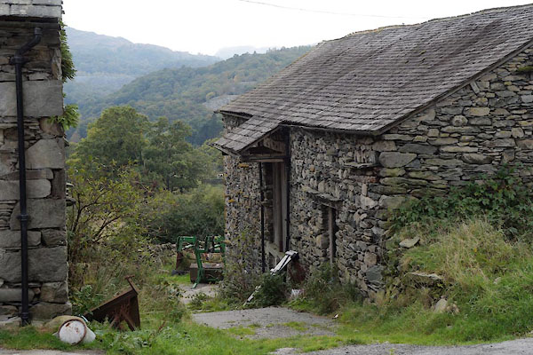 BZL44.jpg Barn. (taken 15.10.2013) |
||
|
|
||
 Lakes Guides menu.