 Old Cumbria Gazetteer
 |
 |
|
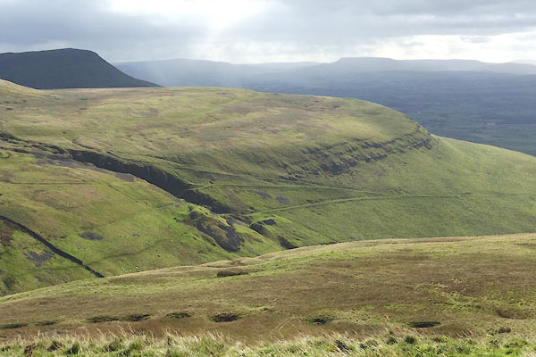
| Delfekirk Scar, Murton | ||
| Delfekirk Scar | ||
| locality:- | Mell Fell | |
| civil parish:- | Murton (formerly Westmorland) | |
| county:- | Cumbria | |
| locality type:- | rocks | |
| coordinates:- | NY742222 (etc) | |
| 1Km square:- | NY7422 | |
| 10Km square:- | NY72 | |
|
|
||
 CGR57.jpg (taken 5.10.2017) 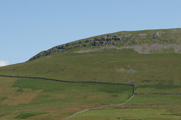 BVA49.jpg (taken 24.7.2011) |
||
|
|
||
| evidence:- | old map:- OS County Series (Wmd 10 9) placename:- Delfekirk Scar |
|
| source data:- | Maps, County Series maps of Great Britain, scales 6 and 25
inches to 1 mile, published by the Ordnance Survey, Southampton,
Hampshire, from about 1863 to 1948. |
|
|
|
||
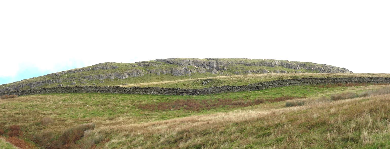 Click to enlarge CGR41.jpg (taken 5.10.2017) 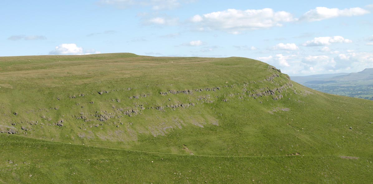 Click to enlarge BVB35.jpg (taken 24.7.2011) |
||
|
|
||
 Lakes Guides menu.