 Old Cumbria Gazetteer
 |
 |
|
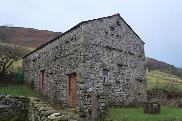
| Ellers, Dent | ||
| Ellers | ||
| civil parish:- | Dent (formerly Yorkshire) | |
| county:- | Cumbria | |
| locality type:- | buildings | |
| coordinates:- | SD67948860 | |
| 1Km square:- | SD6788 | |
| 10Km square:- | SD68 | |
| references:- | Listed Buildings 2010 |
|
|
|
||
 CCE25.jpg (taken 5.12.2014) 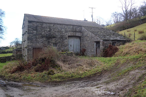 CCE20.jpg (taken 5.12.2014) |
||
|
|
||
| evidence:- | old map:- OS County Series (Yrk 63 12) placename:- Ellers |
|
| source data:- | Maps, County Series maps of Great Britain, scales 6 and 25
inches to 1 mile, published by the Ordnance Survey, Southampton,
Hampshire, from about 1863 to 1948. |
|
|
|
||
| evidence:- | database:- Listed Buildings 2010 |
|
| source data:- | courtesy of English Heritage "BARN APPROXIMATELY 5 METRES WEST OF ELLERS / / / DENT / SOUTH LAKELAND / CUMBRIA / II / 484292 / SD6794388606" |
|
|
|
||
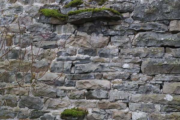 CCE21.jpg Walling. (taken 5.12.2014) 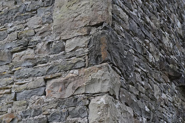 CCE22.jpg Quoins. (taken 5.12.2014) 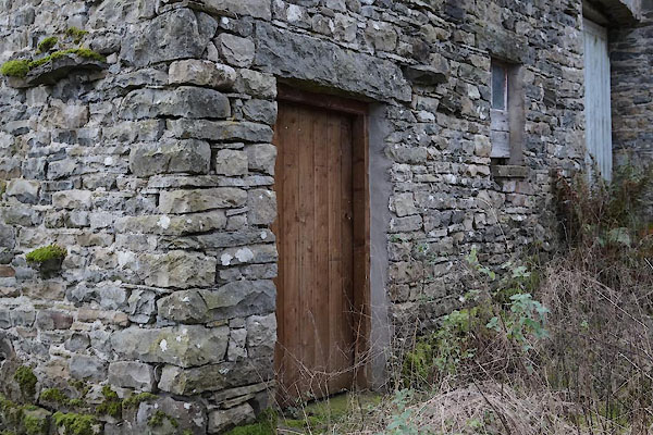 CCE23.jpg Door. (taken 5.12.2014) 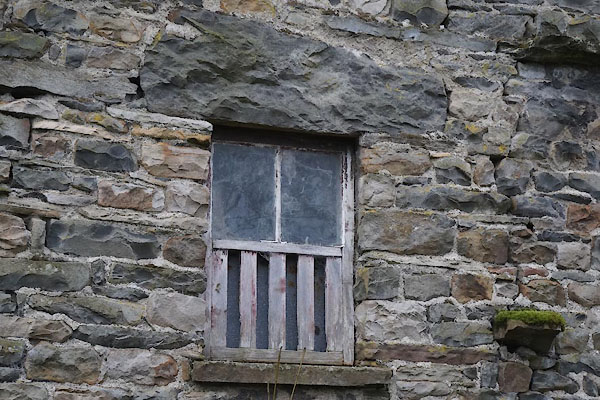 CCE26.jpg Window. (taken 5.12.2014) 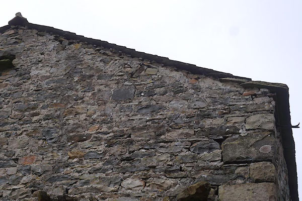 CCE24.jpg Gable. (taken 5.12.2014) |
||
|
|
||
 Lakes Guides menu.