 Old Cumbria Gazetteer
 |
 |
|
| footbridge, Upper Denton | ||
| River Irthing Footbridge | ||
| site name:- | Irthing, River | |
| site name:- | Hadrian's Wall Path | |
| locality:- | Hadrian's Wall | |
| civil parish:- | Upper Denton (formerly Cumberland) | |
| civil parish:- | Waterhead (formerly Cumberland) | |
| county:- | Cumbria | |
| locality type:- | footbridge | |
| locality type:- | bridge | |
| coordinates:- | NY62146632 | |
| 1Km square:- | NY6266 | |
| 10Km square:- | NY66 | |
|
|
||
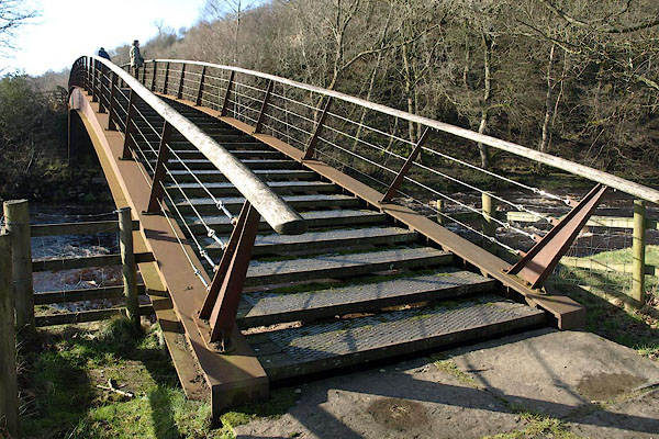 BUB51.jpg (taken 16.2.2011) 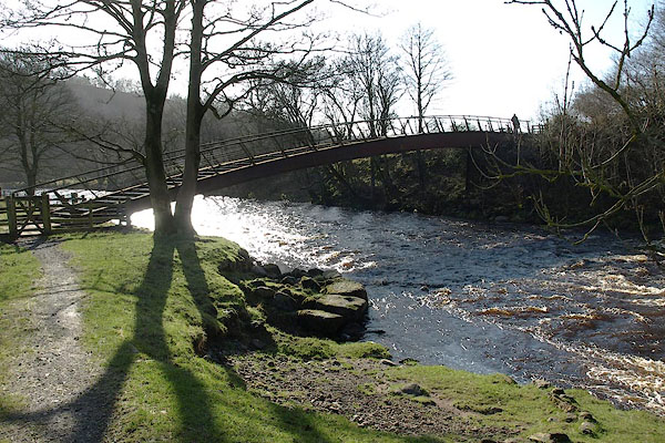 BUB56.jpg (taken 16.2.2011) |
||
|
|
||
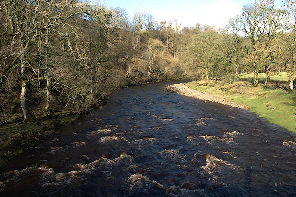 BUB55.jpg View of river. (taken 16.2.2011) |
||
|
|
||
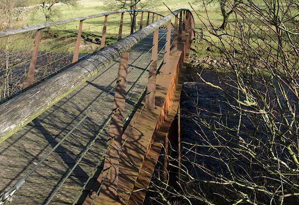 BUB52.jpg (taken 16.2.2011) 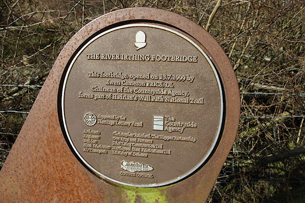 BUB53.jpg (taken 16.2.2011) 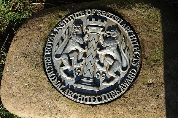 BUB54.jpg "ROYAL INSTITUTION OF BRITISH ARCHITECTS / REGIONAL ARCHITECTURE AWARD" (taken 16.2.2011) |
||
|
|
||
 Lakes Guides menu.