 Old Cumbria Gazetteer
 |
 |
|
| motte, Hayton | ||
| Castle Hill | ||
| locality:- | Hayton | |
| civil parish:- | Hayton (formerly Cumberland) | |
| county:- | Cumbria | |
| locality type:- | motte | |
| locality type:- | castle (site) | |
| coordinates:- | NY50685784 | |
| 1Km square:- | NY5057 | |
| 10Km square:- | NY55 | |
| SummaryText:- | Ringwork, and perhaps a bailey | |
| references:- | Jackson 1990 |
|
|
|
||
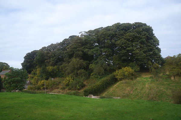 CEA87.jpg (taken 9.10.2015) |
||
|
|
||
| evidence:- | old map:- OS County Series (Cmd 17 16) placename:- Castle Hill |
|
| source data:- | Maps, County Series maps of Great Britain, scales 6 and 25
inches to 1 mile, published by the Ordnance Survey, Southampton,
Hampshire, from about 1863 to 1948. |
|
|
|
||
| notes:- |
earthworks, motte and ditch |
|
| Perriam, D R &Robinson, J: 1998: Medieval Fortified Buildings of Cumbria: CWAAS::
ISBN 1 873124 23 6; illustration |
||
|
|
||
 Lakes Guides menu.