 Old Cumbria Gazetteer
 |
 |
|
| Muckleyeat, Bewcastle | ||
| Muckleyeat | ||
| Greystone Flat | ||
| locality:- | Loan, The | |
| civil parish:- | Bewcastle (formerly Cumberland) | |
| county:- | Cumbria | |
| locality type:- | building/s (ruins) | |
| locality type:- | bastle house | |
| coordinates:- | NY56117851 | |
| 1Km square:- | NY5678 | |
| 10Km square:- | NY57 | |
| references:- | Listed Buildings 2010 |
|
|
|
||
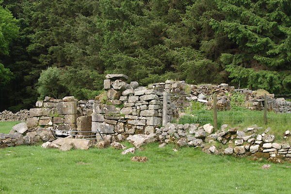 BWQ41.jpg (taken 1.6.2012) 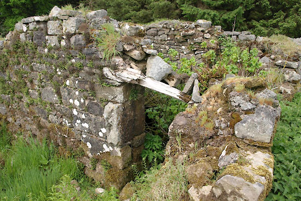 BWQ43.jpg (taken 1.6.2012) |
||
|
|
||
| evidence:- | old map:- OS County Series (Cmd 4 10) placename:- Muckleyeat |
|
| source data:- | Maps, County Series maps of Great Britain, scales 6 and 25
inches to 1 mile, published by the Ordnance Survey, Southampton,
Hampshire, from about 1863 to 1948. |
|
|
|
||
| evidence:- | database:- Listed Buildings 2010 placename:- Loan, The |
|
| source data:- | courtesy of English Heritage "RUINS OF THE LOAN (NOT TO BE CONFUSED WITH HOUSE OF SAME NAME TO EAST) / / / BEWCASTLE / CARLISLE / CUMBRIA / II / 78118 / NY5611578515" |
|
|
|
||
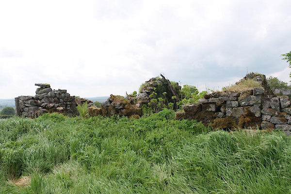 BWQ42.jpg (taken 1.6.2012) |
||
|
|
||
| notes:- |
end wall of a bastle included in a house, which is now in ruins |
|
| Perriam, D R &Robinson, J: 1998: Medieval Fortified Buildings of Cumbria: CWAAS::
ISBN 1 873124 23 6 |
||
|
|
||
 Lakes Guides menu.