 Old Cumbria Gazetteer
 |
 |
|
|
| Kendal: Castle Street | |||
| Castle Street | |||
| locality:- | Kendal | ||
| civil parish:- | Kendal (formerly Westmorland) | ||
| county:- | Cumbria | ||
| locality type:- | street | ||
| coordinates:- | SD52089300 (etc) | ||
| 1Km square:- | SD5293 | ||
| 10Km square:- | SD59 | ||
|
|
|||
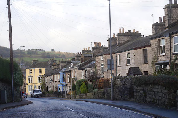 CEK52.jpg (taken 4.12.2015) 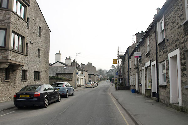 BYC41.jpg (taken 11.4.2013) |
|||
|
|
|||
| evidence:- | old map:- OS County Series (Wmd 38 8) placename:- Castle Street |
||
| source data:- | Maps, County Series maps of Great Britain, scales 6 and 25
inches to 1 mile, published by the Ordnance Survey, Southampton,
Hampshire, from about 1863 to 1948. |
||
|
|
|||
| mapping:- |  Kendal: Stramongate Kendal: Wildman Street Kendal: Stramongate Kendal: Wildman Street[Beezon Road] Kendal: Stramongate Kendal: Wildman Street[Beezon Road][Sandylands Road] [Sandylands Road] Kendal: Sedbergh Road Kendal: Sedbergh Road |
||
|
|
|||
Lakes Guides menu.