 Old Cumbria Gazetteer
 |
 |
|
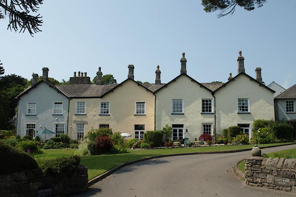
| Kents Bank House, Grange-over-Sands | ||
| Kents Bank House | ||
| Street:- | Kirkhead Road | |
| civil parish:- | Grange-over-Sands (formerly Lancashire) | |
| county:- | Cumbria | |
| locality type:- | buildings | |
| coordinates:- | SD39677568 | |
| 1Km square:- | SD3975 | |
| 10Km square:- | SD37 | |
| references:- | Listed Buildings 2010 |
|
|
|
||
 BYS31.jpg (taken 5.7.2013) |
||
|
|
||
| evidence:- | old map:- OS County Series (Lan 17 12) placename:- Kents Bank House |
|
| source data:- | Maps, County Series maps of Great Britain, scales 6 and 25
inches to 1 mile, published by the Ordnance Survey, Southampton,
Hampshire, from about 1863 to 1948. |
|
|
|
||
| evidence:- | database:- Listed Buildings 2010 placename:- Kents Bank House |
|
| source data:- | courtesy of English Heritage "KENTS BANK HOUSE / / KIRKHEAD ROAD / GRANGE OVER SANDS / SOUTH LAKELAND / CUMBRIA / II / 460522 / SD3967075682" |
|
|
|
||
 Lakes Guides menu.