 Old Cumbria Gazetteer
 |
 |
|
| Knock Hush, Long Marton | ||
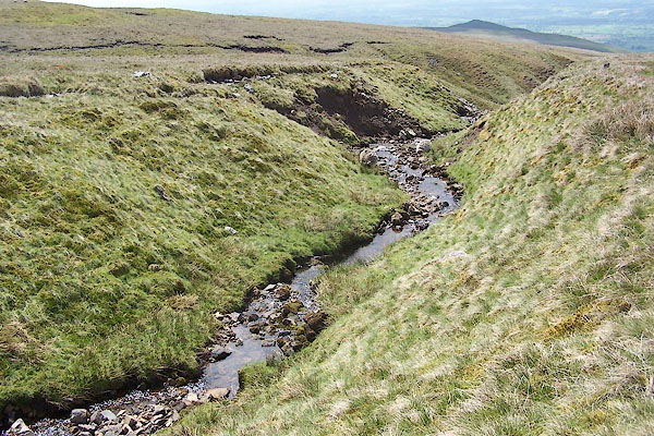
| Knock Hush | ||
| locality:- | Knock Fell | |
| civil parish:- | Long Marton (formerly Westmorland) | |
| county:- | Cumbria | |
| locality type:- | hush | |
| coordinates:- | NY71262935 (etc) | |
| 1Km square:- | NY7129 | |
| 10Km square:- | NY72 | |
|
|
||
 BSX10.jpg (taken 2.6.2010) 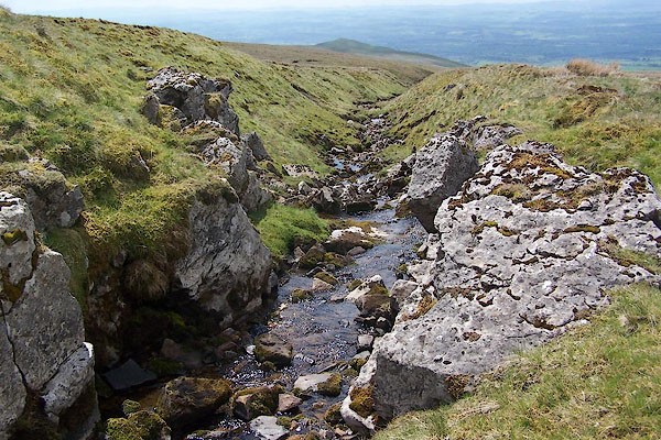 BSX11.jpg (taken 2.6.2010) |
||
|
|
||
| evidence:- | old map:- OS County Series (Wmd 5 12) placename:- Knock Hush |
|
| source data:- | Maps, County Series maps of Great Britain, scales 6 and 25
inches to 1 mile, published by the Ordnance Survey, Southampton,
Hampshire, from about 1863 to 1948. |
|
|
|
||
| notes:- |
Dam at NY71442971 |
|
|
|
||
 Lakes Guides menu.