 Old Cumbria Gazetteer
 |
 |
|
| Limekiln Bridge, Castle Sowerby | ||
| Limekiln Bridge | ||
| site name:- | Barn Gill | |
| civil parish:- | Castle Sowerby (formerly Cumberland) | |
| county:- | Cumbria | |
| locality type:- | bridge | |
| locality type:- | culvert | |
| coordinates:- | NY39673858 | |
| 1Km square:- | NY3938 | |
| 10Km square:- | NY33 | |
|
|
||
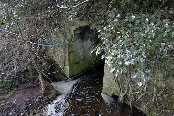 BUC26.jpg (taken 25.2.2011) |
||
|
|
||
| evidence:- | old map:- OS County Series (Cmd 38) |
|
| source data:- | Maps, County Series maps of Great Britain, scales 6 and 25
inches to 1 mile, published by the Ordnance Survey, Southampton,
Hampshire, from about 1863 to 1948. N of road, W of stream, is an "Old Limekiln" |
|
|
|
||
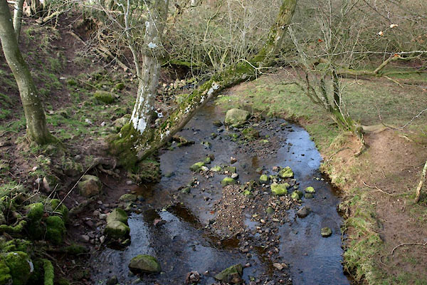 BUC27.jpg View of river. (taken 25.2.2011) |
||
|
|
||
 Lakes Guides menu.