 Old Cumbria Gazetteer
 |
 |
|
| Ostle House, Mawbray | ||
| Ostle House | ||
| locality:- | Mawbray | |
| civil parish:- | Holme St Cuthbert (formerly Cumberland) | |
| county:- | Cumbria | |
| locality type:- | buildings | |
| coordinates:- | NY08164687 | |
| 1Km square:- | NY0846 | |
| 10Km square:- | NY04 | |
| references:- | Listed Buildings 2010 |
|
|
|
||
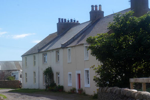 CFG94.jpg (taken 29.7.2016) |
||
|
|
||
| evidence:- | old map:- OS County Series (Cmd 27 10) placename:- Mawbray Yard |
|
| source data:- | Maps, County Series maps of Great Britain, scales 6 and 25
inches to 1 mile, published by the Ordnance Survey, Southampton,
Hampshire, from about 1863 to 1948. |
|
|
|
||
| evidence:- | database:- Listed Buildings 2010 placename:- Ostle House item:- date stone (1764) |
|
| source data:- | courtesy of English Heritage "OSTLE HOUSE / / / HOLME ST CUTHBERT / ALLERDALE / CUMBRIA / II / 411780 / NY0816046876" |
|
|
|
||
 Lakes Guides menu.