 Old Cumbria Gazetteer
 |
 |
|
| railway bridge, Kershopefoot | ||
| site name:- | Border Union Railway | |
| site name:- | Kershope Burn | |
| locality:- | Kershopefoot | |
| civil parish:- | Nicholforest (formerly Cumberland) | |
| county:- | Cumbria | |
| locality type:- | railway bridge | |
| locality type:- | boundary feature | |
| locality type:- | county boundary feature | |
| locality type:- | national boundary feature | |
| coordinates:- | NY47568295 | |
| 1Km square:- | NY4782 | |
| 10Km square:- | NY48 | |
| country:- | Scotland | |
|
|
||
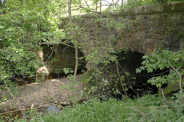 BSW03.jpg (taken 4.6.2010) |
||
|
|
||
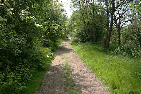 BSW04.jpg View S, into England. (taken 4.6.2010) 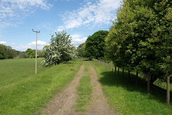 BSW05.jpg View N, into Scotland. (taken 4.6.2010) |
||
|
|
||
 Lakes Guides menu.